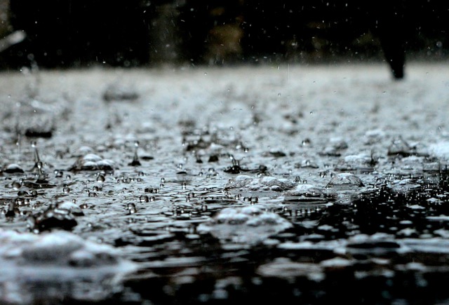
Another Round of Rain
RIVERSIDE (CNS) – Another storm is forecast to bear down on the Inland Empire at the end of the week, bringing an arctic chill that could produce frozen precipitation as low as 3,000 feet, according to the National Weather Service.
Forecasters said the region will dry out most of the week after the Easter weekend downpours, but another trough of low pressure swinging down from the Gulf of Alaska will sweep across Southern California, arriving late Thursday night.
“Another round of rain, snow and strong westerly winds will begin Thursday night and last into Saturday morning,” according to an NWS statement. “This system will likely produce less precipitation amounts than the recent storm, mostly owing to its trajectory. It will also likely be colder, with snow levels down to around 3,000 feet. There’s also the potential for thunderstorms.”
According to prognostication charts, the most intense rainfall is expected to occur Friday morning. As forecast models crystallize later in the week, meteorologists are likely to specify how much precipitation may fall.
The storm will be a fast mover, exiting the region completely by late Saturday morning, according to the NWS.
For Tuesday and Wednesday, high temperatures in the Riverside metropolitan area will soar into the upper 70s, with lows in the upper 40s, amid mostly clear conditions. The mercury will moderate Thursday, topping out at 65, with lows in the mid 40s. Friday and Saturday, temps will stall in the upper 50s, with lows still in the mid 40s.
In the Coachella Valley, sunny skies will prevail Tuesday to Thursday, with highs in the low 80s and lows in the mid 50s. Daytime temperatures will drop to the low 60s Friday but head back into the 70s for the weekend, with lows around 50.
The temperature band in the Temecula Valley will be virtually identical to Riverside metro for the week.
For More Weather News Visit www.zapinin.com/weather


