


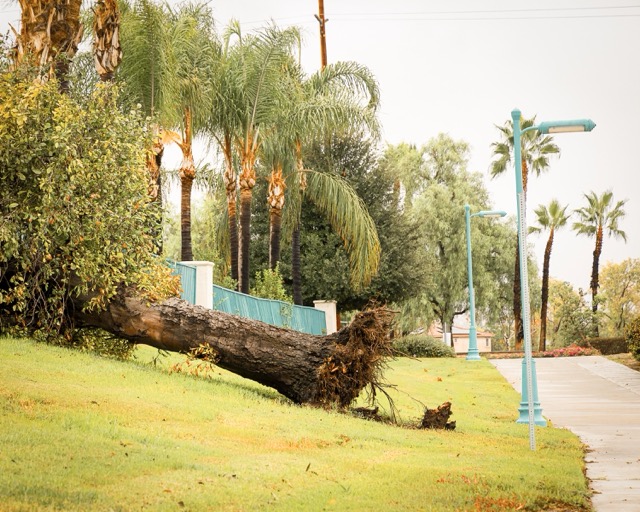
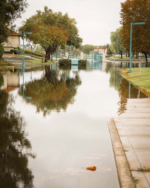
What a Difference a Week Makes, From Tropical Rains to Desert Winds
CORONA – The fall season’s first Santa Ana wind event are whipping up strong gusts in parts of the Inland Empire continuing into the weekend and creating potential hazards, according to the National Weather Service.
“Winds…will be mainly out of the north and northeast, with the strongest winds in the foothills and below passes,” the agency said Wednesday. “Winds are expected to be strongest and most widespread Friday, and they develop more of an easterly component. Wind gusts have the potential to exceed 65 mph in the typically windy spots like near the Cajon Pass and … below the San Gorgonio Pass.”
A high wind warning was put in effect at 6 a.m. Thursday and is expected to be in place until 8 p.m. Saturday, covering the Riverside metropolitan area, along with the passes, mountains throughout the San Bernardino National Forest and other locations.
Most areas will see gusts peaking below 50 mph during daylight hours, forecasters said.
The weather service said a ridge of high pressure that’s soon to park over Northern California will fuel the easterly winds. That high will be replaced by another over the Great Basin of Nevada and Utah, influencing weather patterns until at least Saturday afternoon.
“Winds become weaker on Saturday, with gusts 30 to 40 mph in the valleys and below passes, and gusts up to 50 mph on mountain foothills and below passes,” the NWS stated.
Cal Fire advised residents to be prepared for downed trees and power lines, “blowing dust, hazardous driving conditions and elevated fire danger.”
Fire officials advised residents to monitor weather reports and other sources for updates.
By Sunday, a trough of low pressure dropping in from the central coast will change dynamics throughout the region.
Another chance of precipitation will arrive next Tuesday as the trough sweeps toward Southern California, though forecasters are not currently predicting any significant storm activity.
High temperatures in the Riverside area Wednesday topped out in the low 80s, with overnight lows in the upper 50s, followed by the upper 80s and mid-60s on Thursday, and the same for Friday, Saturday and Sunday.
The Temecula Valley’s temperature range will roughly match the Riverside area’s over the five-day span.
For More Weather News Visit www.zapinin.com