


Storms
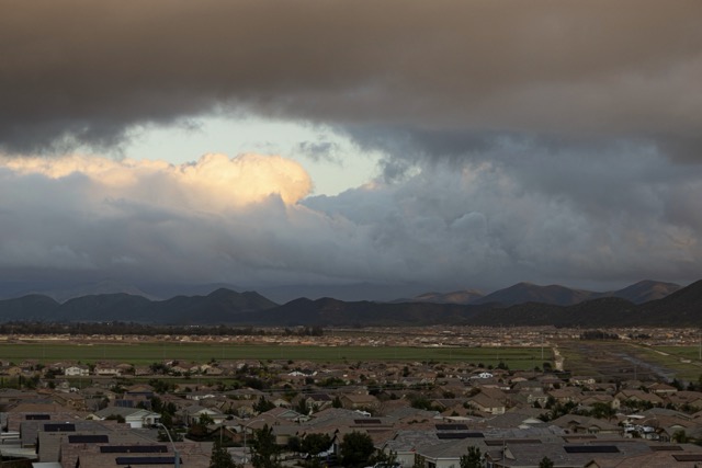
RIVERSIDE (CNS) – Riverside County is in for a brief lull Wednesday before the last of three storm systems brings more rain and snow to the area on Thursday.
Some showers and brief thunderstorms are possible Wednesday morning, with clearing likely in the afternoon, according to the National Weather Service.
Heavy snow is expected in the mountains above 5,000 feet, creating hazardous travel conditions through Thursday evening. Snow levels as low as 3,500 to 4,000 feet Wednesday night and again Thursday may result in light accumulations through the Cajon Pass.
The Riverside County Fire Department warned residents earlier this week about the increased risks during a rainstorm.
“Over the next several days, our area is expected to see several inches of rain. This increases the risk of flooded roads, downed power lines, and fast-moving water,” the department said Monday afternoon. The fire department advised residents to clear storm drains near homes, avoid driving through standing water, and to slow down and give emergency vehicles space.
Strong winds are expected Wednesday, with afternoon gusts up to 30 mph in Riverside, and 60 mph in the mountains and the San Gorgonio Pass.
Cooler daytime temperatures will continue this week, with highs in the 40s in the mountains, the 50s in the metropolitan Riverside area, and the 60s in the Coachella Valley.
A warmup is on the way next week, however, with highs in the downtown Riverside area reaching the low 70s Sunday through Monday, and the mid-70s in Palm Springs in the middle of next week.
For More Riverside County News Visit www.zapinin.com